
Trace a Waltham Street by Address
Begin with the property, not a guessed list of people. Waltham keeps the address trail in several systems. Waltham City tax tools identify the parcel and owner of record. Waltham MapGeo puts that parcel on a map. A Waltham recorded deed can connect the current ownership record to earlier instruments. A defined Waltham City Clerk request is the local route for a municipal street or voter record, and the Waltham Room is the place to check dated directories, annual listings, maps, and house-history material. None of those records makes an owner the current occupant. Used together, they form a documented street-by-street trail.
- Search the Waltham ePortal by address, key or bill number, business name, or parcel ID. Record the returned situs, parcel identifier, and owner display separately from any tax-bill mailing field.
- Use Waltham MapGeo to locate the parcel by street, address, parcel ID, or owner name. Its map position gives the proper starting point for a street segment.
- Follow a legal reference through Middlesex South Land Records. Read the latest instrument before searching the prior owner as grantee.
- For a local civic record, ask the Waltham City Clerk for an existing, defined street or voter record. If a record is not available online, a written request under the Massachusetts Public Records Law is the documented fallback.
- For earlier address evidence, consult the Waltham Room catalog and staff access path for annual listings, directory reels, maps, and archival material.
Keep the query, retrieval date, source type, and any mismatch. That small record makes a Waltham street search repeatable and prevents a current map label from being mistaken for older evidence.
MapGeo in the Waltham Street Directory
MapGeo is Waltham's useful street-browse layer. The City says it accepts a street, address, parcel ID, or owner-name search. After finding a Waltham result, pan along the street and click each Waltham parcel rather than filling gaps from house numbers. Parcel clicks expose selected property information, while the City describes custom maps, selected scanned data, utility information, and abutter lists as available tools. Waltham utility information is not a customer list. A visible Waltham parcel boundary is a geographic relationship, not proof of who lives there.
The live Waltham MapGeo parcel viewer is the starting image for a bounded street segment.
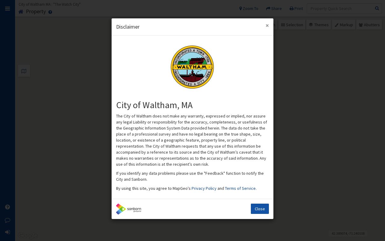
Use the viewer to record each selected parcel and the map date, then compare that result with the tax and deed record rather than treating the map alone as an ownership decision.
For a formal neighboring-parcel product, select the target parcel and use MapGeo's abutter-list function. The City's public description does not publish a radius or buffer label, so do not claim that a particular distance was searched.
Waltham ePortal Street Search Fields
The Waltham ePortal has a simple but important set of entry points. It visibly offers Property Information, Current Statement, and Previous Statement, followed by four search modes. Its public Waltham landing page did not expose all dynamic result labels, so the table describes the documented controls, not a made-up parcel-card inventory. The Waltham Assessor's roll provides detailed descriptions for single-, two-, and three-family properties and less detail for other parcels.
| Field or control | Type | How it helps a street search |
|---|---|---|
| Search by Key / Bill # | Mode choice | Opens a tax key or bill-number path for a known property record. |
| Search by Address | Mode choice | Starts with a street address; detailed fields appear after the mode is selected. |
| Search by Business Name | Mode choice | Finds a tax record connected to a named business or owner entry. |
| Search by Parcel ID | Mode choice | Uses the parcel identifier when the street number is uncertain or changed. |
| Current / Previous Statement | Tabs or links | Separates current tax-statement context from an earlier statement. |
The owner and the mailing address may differ from the situs. Waltham notes that a name change on the tax roll follows a new Registry deed, while a mailing name can be added for future bills. That distinction is why a Waltham street directory should preserve both fields without relabeling either one as a current residence.
Waltham Address Record Coverage
Address-keyed Waltham records have different custodians and limits. The table keeps each record in its own lane. It also shows the alternatives available when a portal lacks the needed image, older entry, or local list.
| Address record | Custodian | What it can establish | Online and alternate access |
|---|---|---|---|
| Tax and property record | Waltham Assessor | Waltham parcel, situs, owner of record, tax-statement context, and mailing distinction. | Waltham ePortal; Assessor at 25 Lexington Street, telephone 781-314-3200. |
| Parcel geometry | Waltham City GIS | Waltham parcel location, selected property information, and map relationship. | Waltham MapGeo; City GIS contact at 21 Lexington Street, telephone 781-314-3014. |
| Deed, plan, and legal reference | Middlesex South Registry of Deeds | Recorded parties, dates, book/page or document number, plan references, and prior instruments. | MassLandRecords; Registry counter at 208 Cambridge Street, Cambridge, or telephone 617-679-6300. |
| Issued permit | Waltham Building Department | Addressed project, permit status, work description, and public inspection or final fields. | Issued Permits; Building Department at 119 School Street, Room 25, telephone 781-314-3275. |
| Municipal street or voter record | City Clerk / Board of Registrars | Dated public local fields, subject to confidential and withheld-field rules. | Defined request, call 781-314-3120, visit 610 Main Street, or submit a written Public Records Law request. |
| Historic address evidence | Waltham Room and Historical Commission | Directory, annual-list, map, and survey context for an earlier address form. | Waltham Room catalog; appointment or staff-assisted access when needed. |
The City Clerk route matters when the requested local record is not online. A written request should identify an existing record, scope, and preferred format. Massachusetts guidance generally calls for a response within 10 business days, subject to the law's exemptions and cost rules.
Waltham Street Deed and Plan Trail
A Waltham deed chain begins with a current parcel reference, not a street-name search alone. Middlesex South separates Recorded Land, Registered Land, and Plans. Open the latest Waltham deed and note the grantor, grantee, recording date, document number or book and page, legal description, and referenced plan. Then search the prior owner as grantee to find that earlier acquisition. A plan, lot reference, or metes-and-bounds description can bridge a Waltham street number that changed over time.
The Registry announced in 2024 that more than 8,000 Recorded Land books and Registered Land case plans were digitized and made freely available online. That expanded access is useful, but it did not create a universal start year for every search. The site also exposes an Unindexed Property Search for Books 1-1024. For older work with no clean web result, use the Registry counter, its office indexes or microfilm, and Waltham Room map or deed studies.
Note: A recorded instrument supports a land-record finding, not a conclusion about present occupancy or every person connected with an address.
Waltham Street Names and Boundaries
Waltham street labels change. Waltham historical material identifies Bacon Street as the successor to Skunk Lane, and the City's history research points to a Waltham street-naming process in 1838. Older sources may use a farm, estate, crossroad, city-line reference, Watertown, Newton, or a numbered road instead of today's address. The 1849 annexation of land beyond the Charles River from Newton can also move an early Waltham record into a different municipal trail.
Start an older address search with the current street, then compare Sanborn or atlas sheets, cross streets, plan references, and historical directory forms. The Waltham Historic Property Mapper accepts street number and street name, then returns historic status and a map route when available.
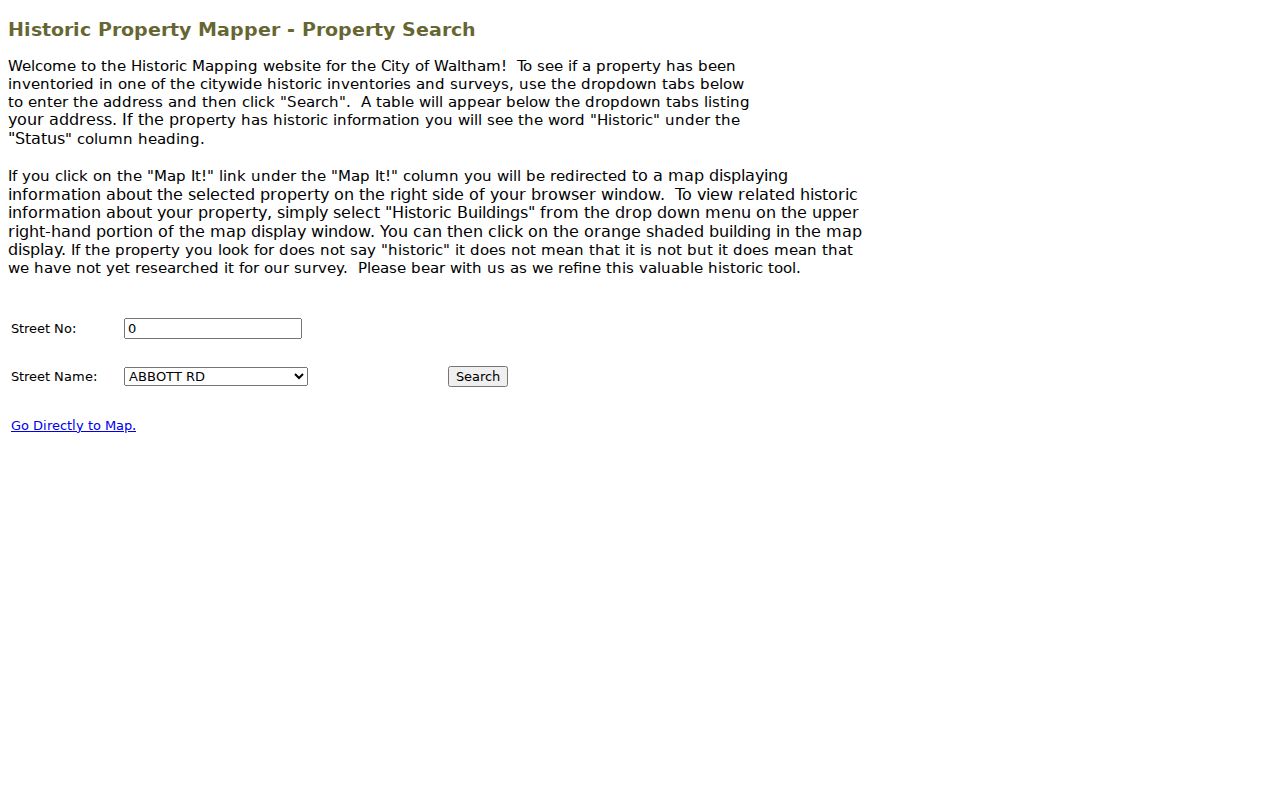
An address without a historic-status result means it was not included in that survey. It does not prove that the building or the street lacks a history. Follow a map result with the deed, permit, Library map, or house-history source that fits the date.
Waltham Permit Records by Address
Waltham permits add a project timeline to a Waltham street search. The Waltham Issued Permits workflow begins with an address, then moves through property information and the next step. Capture the permit prefix, permit number, accepted or issued status, work description, date, and any available inspection or final field. The published workflow can also expose an applicant, owner, contractor, or plans. Those roles concern the project. They do not identify the current occupant.
Prefix letters are a research clue, not a shortcut. Waltham identifies P as an issued building permit and A as an accepted but not issued application; Z, Y, X, and Q relate to plumbing or gas, W to wires, and F to fire prevention. Record the full status before describing the project. For a missing online result, the Building Department is the documented alternate channel.
Waltham Street Directory Terms
Four terms prevent many Waltham address-record errors. Waltham uses parcel, tax, deed, map, and historical reference systems that may point to the same place in different ways. Record the Waltham source wording first, then normalize only when a second source confirms the connection.
- Parcel
- A mapped property unit used by the Assessor and GIS. It may contain a building, a unit interest, common land, or undeveloped land.
- Situs address
- The physical property address used for assessment. It is distinct from the address where a tax bill is mailed.
- Plat or plan
- A recorded drawing or map that can identify lots, boundaries, and subdivision references when a street number is unclear.
- Criss-cross directory
- An address-oriented directory arrangement used to connect a street location with a dated directory entry. It is historical evidence, not a current roster.
When a plan and a current map disagree, keep both citations. The legal description and the recorded plan may answer a title question more accurately than a modern street label.
Waltham ZIP Checks for Streets
Postal labels are another Waltham address layer. Ordinary Waltham street delivery is associated with 02451, 02452, and 02453 in the research material. ZIP 02454 is a post-office-box clue, while 02455 appears in routing or North Waltham context and needs an address-level USPS confirmation. Historical documents may carry 02154, the local Waltham ZIP replaced by 02451 through 02453 on July 1, 1998. A Waltham ZIP mismatch can be a date or delivery issue, not proof that the parcel record is wrong.
Use the official USPS ZIP Code Lookup to normalize a known mailing address.
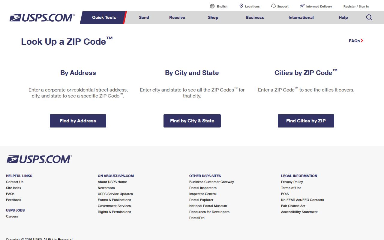
USPS offers by-address, city-and-state, and by-ZIP modes, but its own notice says a returned ZIP does not confirm a particular person or company at that location. Preserve the original printed address beside the postal result.
Waltham Street Lists and Waltham Room
Waltham's annual street list is a dated municipal record, not a live people finder. The Waltham local form includes address, name, mail-to information, date of birth, and status prompts, but public release is limited by confidential-voter, minor, phone, email, and other withheld-field rules. The statewide voter-status tool requires name, birth date, residential ZIP, and agreement because it is intended for an individual's own registration check. It must not be used as a Waltham search for arbitrary people.
For a defined current local record, use the City Clerk request path. For historical context, the Waltham Room holds annual listings and city-directory microfilm beginning in 1869 in the Library finding aid, along with maps and local records. A dated directory hit can help identify a past address form; it cannot establish present residence. The historical collections are described in more detail in the Waltham city directory collections.
Note: Ask for the smallest public field set needed, and request aggregate information where names are not necessary to answer the question.
Waltham Street Directory Privacy Limits
A Waltham street directory cannot turn public property data into a complete account of the people at a Waltham address. A Waltham parcel owner may have a separate mailing address. A permit applicant may not be the person now at the property. Utility accounts, school records, health records, unlisted telephone records, and motor-vehicle data are not assumed public. The Massachusetts Address Confidentiality Program provides a substitute address for eligible participants, and confidential voter material is not an ordinary Waltham street-list entry. An absent record can be a lawful protection, not a gap to work around.
If a City record is incomplete, ask the custodian about a correction, redaction, certified copy, or properly scoped request. Do not publish signatures, Social Security numbers, bank information, exact substitute addresses, or unnecessary identifiers from a returned image.