
Waltham Neighbors Through Parcel Records
A block question has several possible answers. MapGeo identifies parcel relationships. The tax record identifies an owner of record and a tax mailing field. The City Clerk may hold a defined local voter or street record with public-field restrictions. Older annual lists and directories place a name at an address for a particular edition. Community association labels can add local context, but they are not official boundaries or membership directories. Treat each source as evidence for its own date and purpose.
| Source | What It Shows About a Block | Access |
|---|---|---|
| Waltham MapGeo | Parcel boundaries, selected property information, map position, and formal abutter-list capability. | Online viewer; City GIS at 21 Lexington Street, telephone 781-314-3014. |
| Waltham ePortal and Assessor | Addressed property record, parcel or key, owner display, and tax mailing distinction. | ePortal; Assessor at 25 Lexington Street, telephone 781-314-3200. |
| City Clerk / Board of Registrars | Defined local public street or voter record, with confidential and withheld fields excluded. | Request the existing record through the City Clerk, call 781-314-3120, visit 610 Main Street, or use a written public-records request. |
| Waltham Room | Dated annual listings, directory reels, maps, newspapers, and neighborhood surveys. | Archive catalog; staff and appointment access when required. |
| Community associations | Community-maintained names, events, and civic context. | Confirm a current contact through the association or WCONA. No open member directory is assumed. |
Owner of record is not the same thing as current occupant. A tax mailing address can be elsewhere, and a historic listing proves only what the dated source printed. That separation is the central limit on any search for Waltham neighbors.
Map a Waltham Neighbor Parcel
Use the parcel boundary rather than numerical order. MapGeo accepts street, address, parcel ID, and owner-name searches. Find the target address, select its parcel, and zoom until the adjoining boundaries are visible. Click every touching parcel and record its parcel ID, situs, owner-of-record display, and map relationship separately. If the task calls for a formal parcel-neighbor output, use the City's abutter-list or map tool for the selected parcel. The public description does not identify a radius, buffer, or maximum-distance setting.
The current Waltham MapGeo viewer shows why a boundary check comes before any claim about Waltham neighbors.
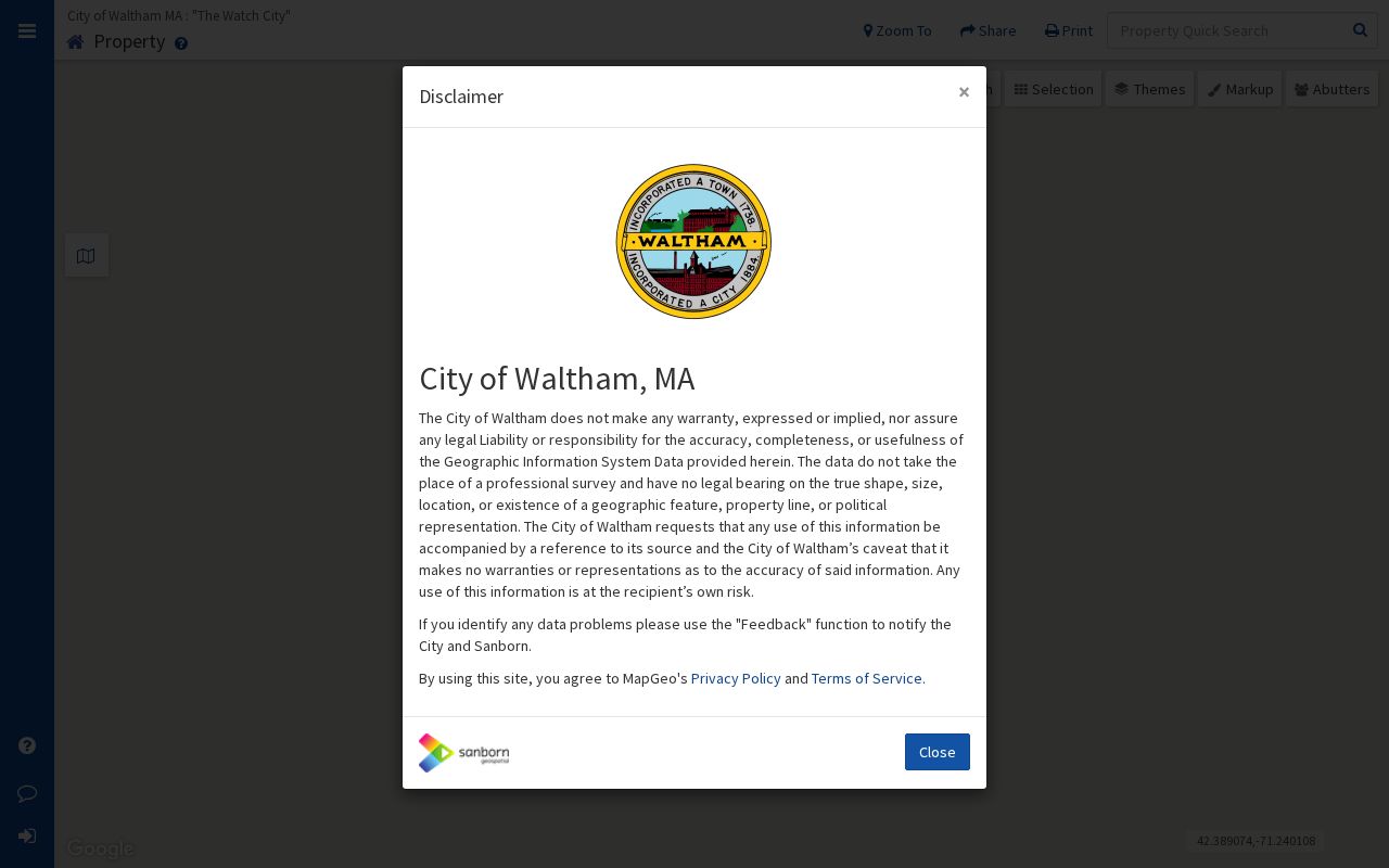
A parcel click creates a documented map relationship. It does not turn the selected owner field into a statement about a person's daily presence at the property.
- Search the target street address in MapGeo and save the returned parcel ID, situs, and map date.
- Turn on or view parcel boundaries, then click each parcel that visibly touches the target parcel.
- Use the abutter-list function when a formal City GIS output is needed, and retain the map scale and source date.
- Check the ePortal or Assessor record for each selected parcel, preserving the owner and mailing fields as separate administrative facts.
- Move to deeds or historical sources only when the question needs a dated title or address trail.
Waltham Abutters Are Not Street Numbers
An abutter is a parcel relationship. It is not simply the next street number, and it does not necessarily mean the closest household. A river, railroad, public way, irregular lot, condominium common area, or public land can interrupt a numbered sequence. A parcel can also front one road while its situs uses another access road. Those details are common reasons to preserve the map view instead of inferring adjacency from an address list.
Waltham's physical setting reinforces the point. The Charles River, historic industrial corridor, uplands, and later subdivisions can leave a block with geometry that is not obvious from a mailing label. Use the GIS map as the geographic anchor, then use association names and older maps only as supporting context. The full named-street document chain belongs on the Waltham street directory.
Note: A formal abutter list should retain the target parcel, map date, and source, rather than a hand-built sequence of nearby street numbers.
Waltham Neighbor Owner Checks
After MapGeo identifies the right parcels, Waltham ePortal provides the tax and property path. The visible entry modes are key or bill number, address, business name, and parcel ID; its Property Information area also offers Current Statement and Previous Statement paths. The Assessor describes the tax roll as a synopsis of Waltham real estate, with detailed descriptions for single-, two-, and three-family properties and less detail for other parcels. The dynamic result-card labels were not fully available in the official text inspection, so a search should capture only fields visible in the returned record.
Keep three identities separate: the situs or property address, the tax-bill mailing address, and the deed's legal description. A mailing address can belong to a trust, business, bank, or representative. An owner-occupancy indicator, if a current record displays one, is only a clue and not a roster of people connected to the parcel. For title questions, follow the latest legal reference to Middlesex South Land Records and read the instrument itself.
Waltham Neighbors in Municipal Voter Records
Massachusetts has two distinct voter channels. The Secretary's statewide status search requires a first name, last name, date of birth, residential ZIP, and agreement checkbox. It is intended for an individual to check that person's own registration status. It is not a public tool for looking up Waltham neighbors or for turning a block into a name-and-address list.
For an existing local record, use the Waltham City Clerk and Board of Registrars. The public local-field inventory can include name, residential address, party designation, date of birth, active or inactive status, voter ID, voting history, mailing address, registration date, and inactivity date. Phone, email, veteran status, permanent-absentee status, confidential-voter material, and minors' information may be withheld. The central statewide registry is not a public record under M.G.L. c. 51, § 47C.
A defined written request should name the existing municipal record, narrow its scope, and state a preferred format. The usual Massachusetts Public Records Law response period is 10 business days. The City Clerk, an in-person request at 610 Main Street, the state Elections Division, and the Library or Archives for historical annual lists are the documented channels when a current online list is unavailable.
Waltham Community Association Labels
Neighborhood names help describe local geography, but they do not draw legal parcel, ward, ZIP, fire-district, or school boundaries. The research identifies Waltham Council of Neighborhood Associations as an umbrella coordination lead and lists associations such as Angleside, Cedarwood, Piety Corner Club, Ravenswood, South Waltham, and Warrendale. It also identifies names including Charles Street West, Eastview Park, Goldencrest-Hobbs Brook, Lincoln Heights, Northeast Waltham Ward 3, Roberts/Morton/Angleside, and Winter Street.
| Community name | Research context | Directory boundary |
|---|---|---|
| Angleside Association | Angleside neighborhood association. | Community-maintained; no public resident directory located. |
| Cedarwood Association | Cedarwood, organized in 1955, with events, newsletter, and email-list context. | Association context only; no open member roster located. |
| Piety Corner Club | Piety Corner community source, described locally as the oldest association. | Current officers and members were not located in the research. |
| Ravenswood, South Waltham, and Warrendale | Neighborhood-level civic context named in a community-maintained list. | Verify current contact and coverage before relying on a label. |
These labels are social geography. They can explain an event notice or map reference, but they never establish membership, ownership, residence, or a complete list of Waltham neighbors. Use the City address and parcel geometry for location, then contact an association or WCONA to verify current public-facing information.
Waltham Neighbor History on Maps
Older maps and directories can explain why a nearby place now has a different name or address form. Waltham became a city in 1884, while the Library finding aid begins its city-directory microfilm sequence in 1869. The 1849 annexation of land beyond the Charles River from Newton can shift an earlier jurisdiction trail. A river crossing, mill area, rail corridor, or later subdivision can likewise change the map context for parcels that look adjacent today.
The Waltham Room brings together city directories, annual lists, maps, newspapers, yearbooks, card indexes, microfilm, and neighborhood surveys. Use those sources for a dated historical observation, not a present-day claim. When a map or directory form conflicts with a current address, retain both forms with their dates and check the underlying plan or deed before deciding they refer to the same place.
Waltham Neighbor Sources Compared
Official files and commercial neighbor-search categories serve different purposes. A City or Registry record has an identified custodian and a defined record type. A commercial listing can be wrong, stale, or based on a different source. A correction request to a commercial source does not change a deed, municipal record, or court file. Keep the source and date visible instead of combining unrelated records into a new directory.
| Question | Official source | Commercial listing category |
|---|---|---|
| Which parcels touch? | MapGeo map and formal abutter tool identify the geographic relationship. | May use a street sequence or opaque map logic; it is not the City GIS record. |
| Who is owner of record? | Assessor/ePortal and the Registry provide tax or recorded-land evidence with dates. | May merge old and current data without the custodian's record context. |
| How is a bad listing handled? | Ask the responsible custodian about correction, redaction, or a scoped request. | Use that service's correction or privacy channel and retain the response. |
Note: The safest result names the record type and date, then leaves unanswered questions unanswered rather than joining them into a personal profile.
Waltham Neighbor Lookup Limits
A Waltham neighbor lookup has firm privacy boundaries. The Address Confidentiality Program serves eligible survivors of domestic violence, sexual assault, and stalking, plus certain legally protected health-care providers, by supplying a substitute address and mail forwarding. Confidential voter registration also exists. A missing address may therefore be a legal protection, not an error to overcome. Do not reproduce an ACP substitute address as a physical location.
Utility accounts, school records, health records, unlisted telephone data, and motor-vehicle information are not assumed public. Review land-record images for redactions and do not reproduce signatures, Social Security numbers, bank information, or extra identifiers. Municipal data should be used in the smallest practical field set, with the custodian and source date recorded.
When a safety issue or protected record is involved, contact the responsible City office or the ACP process rather than trying to identify, contact, or publish a person from partial information.